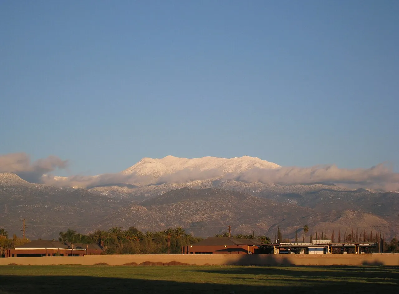
Hurricane Rachel's remnants could bring heavy rain and flash-flood risk to the valley this weekend
Forecasters warn of rapid flooding in washes, low-water crossings and dry creek beds, echoing Tropical Storm Hilary in 2023. The rain should end the desert's latest heat stretch.
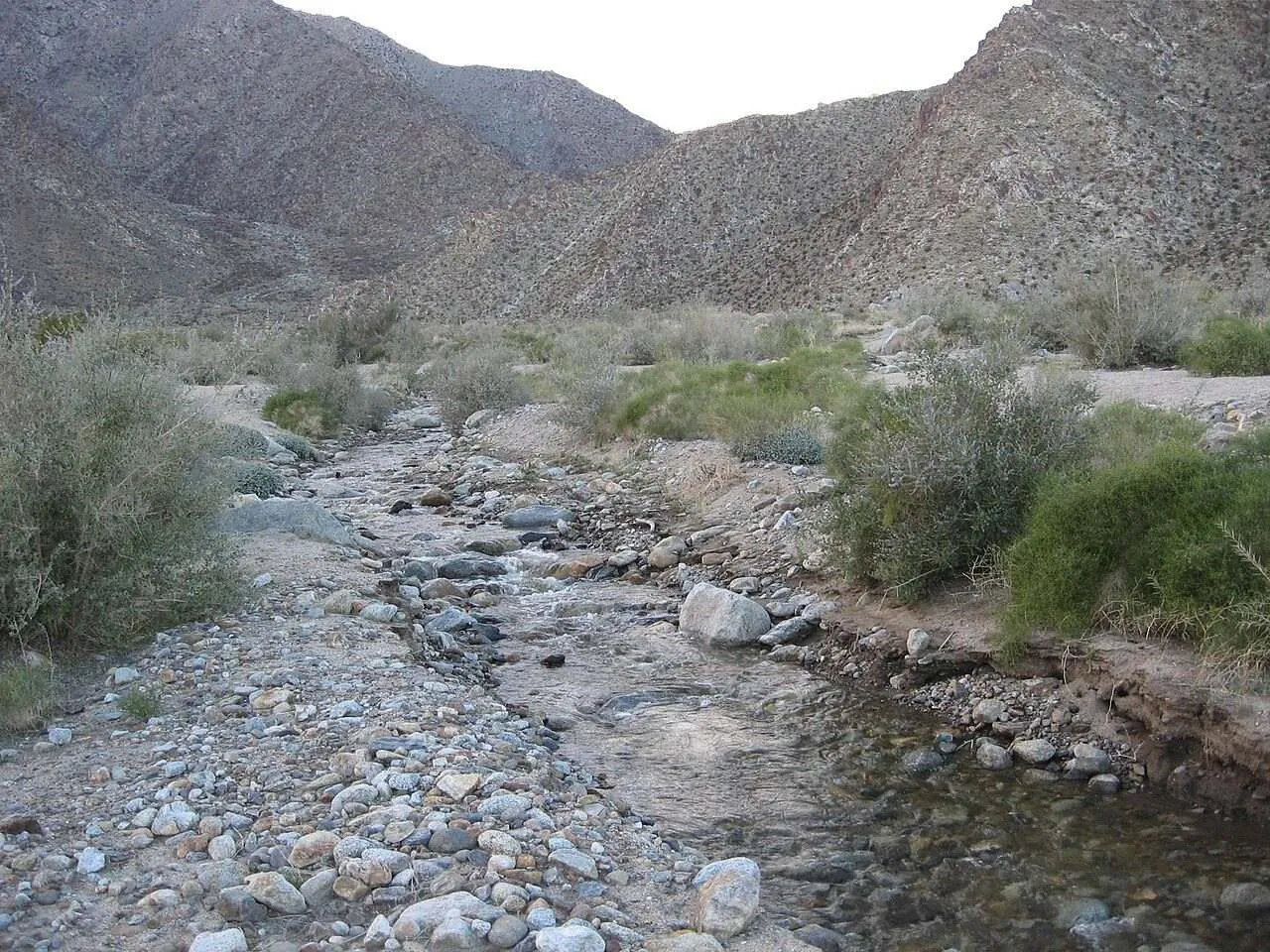
PALM SPRINGS: The remnants of Hurricane Rachel could bring heavy rain and a flash-flood risk to Palm Springs and the Coachella Valley on Sunday and Monday, forecasters warned Wednesday, even as the storm itself is expected to weaken before it reaches California.
The National Hurricane Center on Wednesday expanded Rachel's forecast cone into California. The system is expected to approach Southern California as a post-tropical cyclone early Sunday, with a projected landfall area roughly 100 miles south of San Diego, though the cone stretches as far north as Orange County. USA Today reported that the odds of tropical-storm-force winds reaching the coast remain below 10 percent, but could rise if the storm tracks farther north.
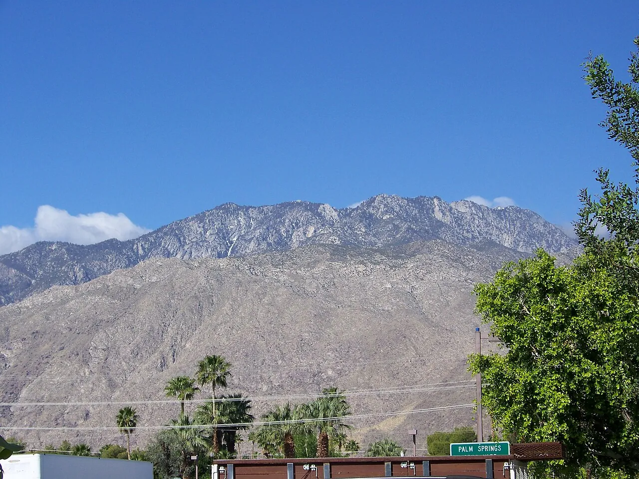
The National Weather Service flagged a slight risk of flash flooding for inland areas including Palm Springs, the San Bernardino Mountains, Las Vegas and Phoenix. In the desert, the concern is familiar: periods of heavy rain capable of producing rapid flooding in washes, low-water crossings and typically dry creek beds, similar to the impacts Tropical Storm Hilary brought to desert communities in 2023.
Palm Springs and surrounding desert communities could see heavy rain capable of rapid flooding in washes and low-water crossings.
A break in the heat
The tropical moisture arrives on the heels of another hot stretch. Dangerously hot weather persisted across the region Wednesday, with extreme heat warnings in effect through 8 p.m. Thursday in Los Angeles and Orange counties, but forecasters expect a sharp cool-down Sunday through Tuesday as a cold low-pressure system moves south from Canada.
Forecasters told MyNewsLA the remnants of Rachel could bring showers late in the weekend or early next week, with thunderstorms possible Sunday or Monday. For the Los Angeles and Orange County areas, the National Weather Service put the chance of thunderstorms on either of those days at 5 to 10 percent. By Monday, high temperatures across the region are expected to be mostly in the 70s, about 5 to 15 degrees below normal.
What to do
No recorded hurricane has made landfall in California while maintaining hurricane strength, but the remnants of tropical systems have flooded desert roads before. Residents should monitor National Weather Service updates, clear storm drains and gutters, know whether they live in a flood-prone area, and never drive through flooded roadways.
None to date. The Tribune corrects errors promptly and transparently. Read our corrections policy.