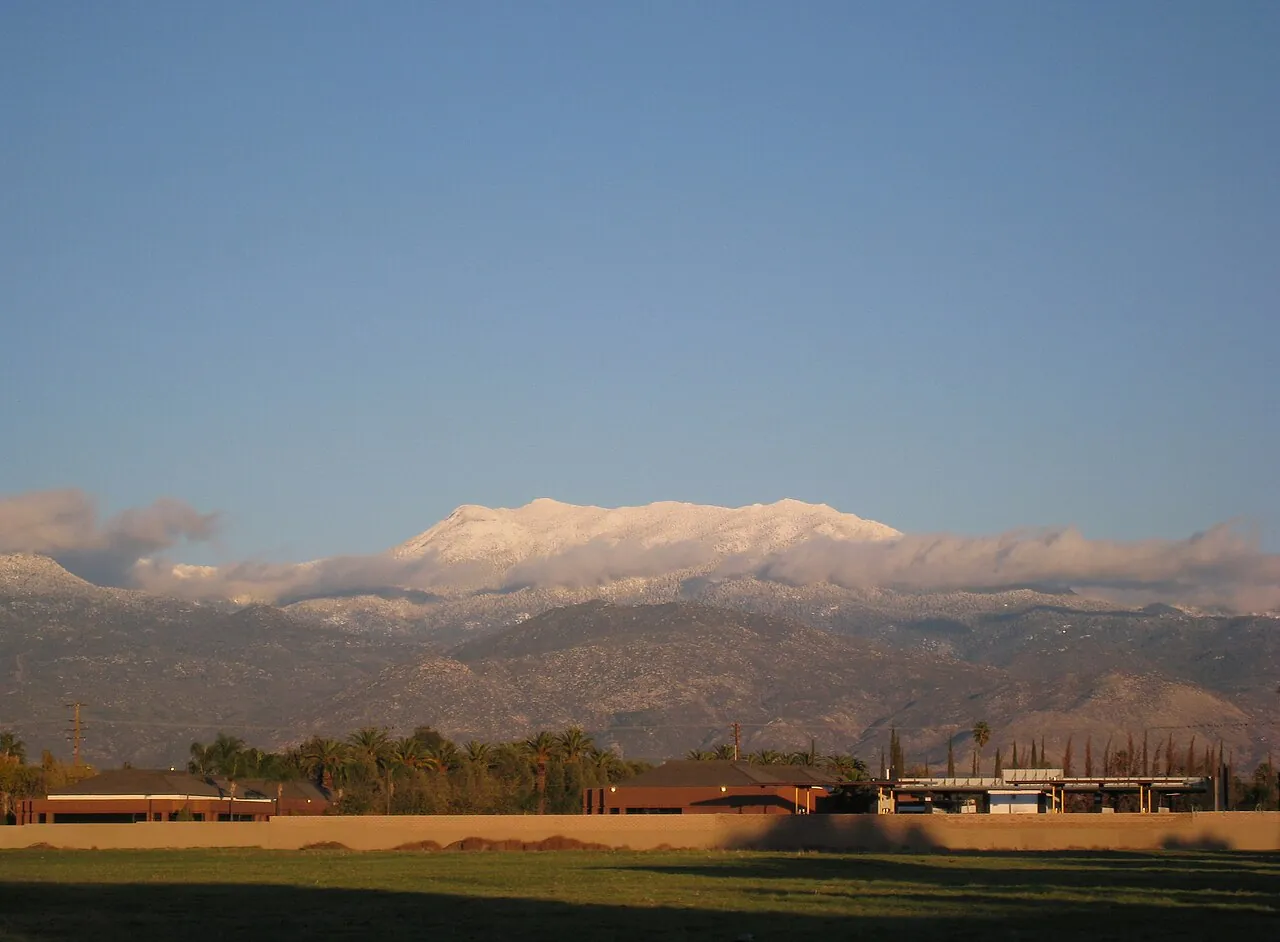
Thursday storm brings valley showers, pass gusts and a mountain snow level falling to 5,500 feet
An updated National Weather Service forecast keeps Wednesday dry in the valley, then brings a front through Southern California on Thursday with afternoon showers here, likely showers in the pass and the Riverside County mountain snow level dropping overnight.
PALM SPRINGS: A storm system moving through California on Thursday will reach the Coachella Valley as afternoon showers, stronger wind through the San Gorgonio Pass and a falling snow level in the mountains, according to the National Weather Service forecast issued early Wednesday.
In its forecast discussion issued Wednesday morning, the weather service described the Thursday system as a strong one with a well defined front. Rain is expected to start in the Los Angeles Basin on Thursday morning and move southeast into Riverside and San Diego counties through the afternoon, with intense rain along the front and a small chance of thunderstorms, the discussion said.
The valley stays dry until Thursday afternoon
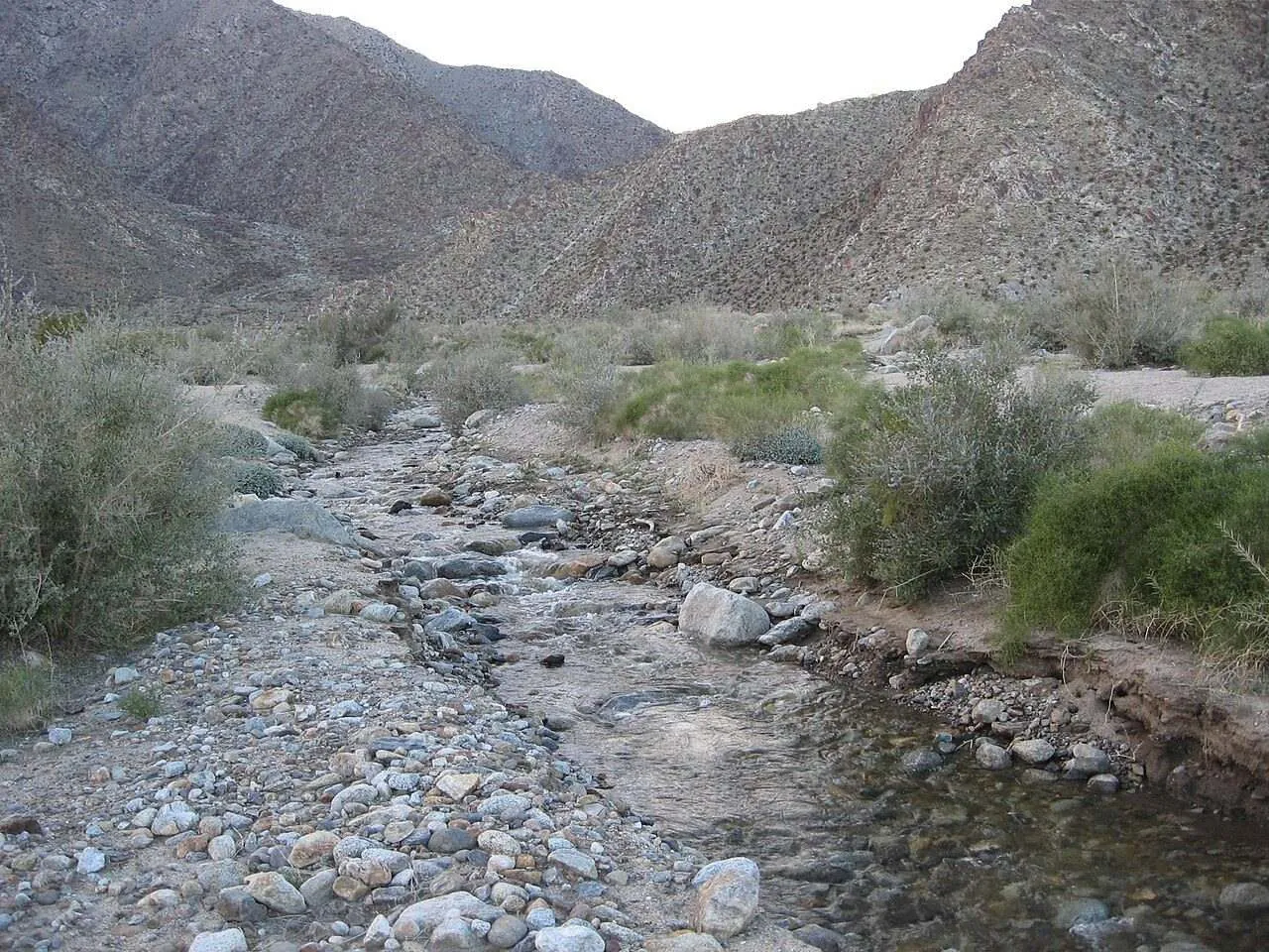
Today in the valley will be mostly sunny, with highs around 73 and light winds turning southeast at 10 mph this afternoon, the weather service said. Tonight turns partly cloudy and then mostly cloudy, with lows of 52 to 56.
The snow level in the Riverside County mountains falls to 6,500 feet on Thursday night, then 5,500 feet, the National Weather Service said.
Thursday in the valley will be partly cloudy, with a chance of showers in the afternoon, a 50 percent chance of measurable precipitation, and highs of 71 to 75, the weather service said. Winds turn from the southeast at up to 10 mph to 10 to 15 mph in the afternoon, gusting to 25 mph. Thursday night brings a slight chance of showers in the evening, at 20 percent, with lows of 52 to 55.
Wind is the story in the pass
Through the San Gorgonio Pass, highs today run around 66 in the pass and 69 to 72 in the northern Coachella Valley, the weather service said. West winds build overnight to 20 to 30 mph, gusting to 40 mph.
On Thursday the pass sees a slight chance of showers in the morning and then showers likely in the afternoon, a 70 percent chance of measurable precipitation, with highs around 63 in the pass and 66 to 70 in the northern valley, the weather service said. West winds of 15 to 25 mph gust to 40 mph, and Thursday night's west winds of 20 to 30 mph gust to 45 mph, with a 50 percent chance of showers in the evening.
Snow level drops in the Riverside County mountains
In the Riverside County mountains, including Idyllwild-Pine Cove, today will be mostly sunny with highs of 49 to 58, the weather service said. Tonight's lows run 31 to 41, with west winds of 10 to 20 mph gusting to 35 mph overnight.
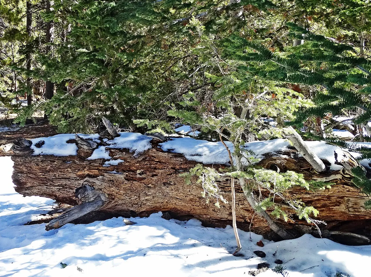
Thursday brings showers to the mountains in the afternoon, with highs of 46 to 56 and the snow level above 8,000 feet, the weather service said. On Thursday night, showers are likely in the evening, a 70 percent chance of measurable precipitation, and the snow level falls to 6,500 feet and then to 5,500 feet, with lows of 28 to 38. For the wider region, the discussion expects a few inches of snow on the highest ski slopes near Big Bear, above 7,500 feet.
The weekend clears out
Friday in the valley turns mostly sunny, with highs of 71 to 74, the weather service said. Saturday and Sunday are mostly sunny, with highs of 69 to 72 both days and lows in the mid 40s to low 50s through the weekend.
None to date. The Tribune corrects errors promptly and transparently. Read our corrections policy.